Land Surveying Services


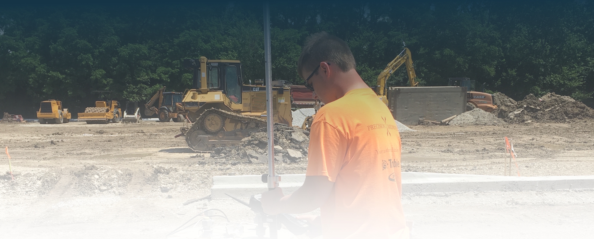
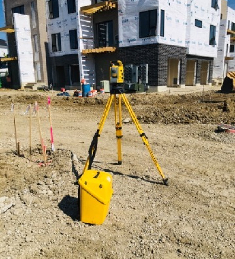
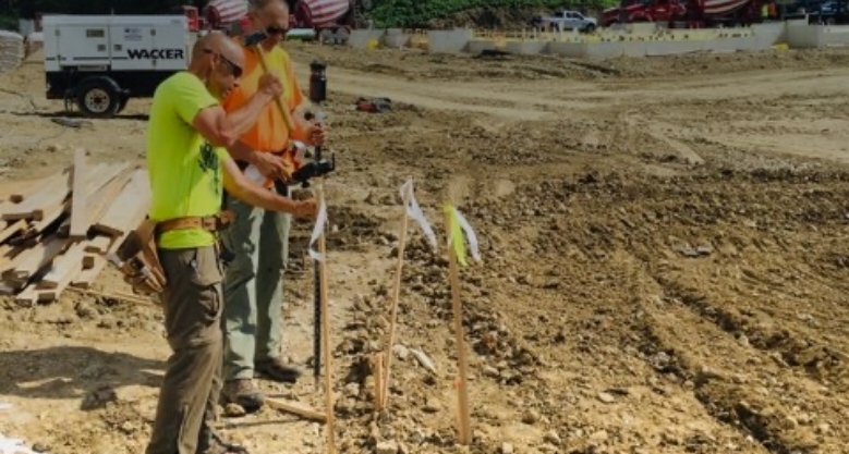
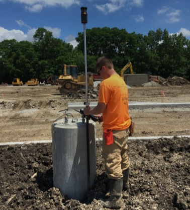
Every successful project starts with accurate and detailed topographic, planimetric and boundary surveys. With the latest in robotic and GIS systems to deliver quality and efficiency, CEMCON, Ltd. brings a valuable engineering perspective to survey work.

CEMCON, Ltd.’s Geomatic’s surveying services include:
  • Global Positioning System (GPS) Surveys
  • Route Surveys
  • Topographic Surveys
  • ALTA/NSPS Land Title Surveys
  • Boundary Retracement Surveys
  • As-built/Record Drawing Survey
  • Photogrammetric Survey Control
  • Geodetic Control Projects
  • Flood Hazard Surveys
  • Infrastructure Surveys
  • Digital Terrain Models (DTM)
  • Project Development Platting (zoning maps, annexation maps, subdivision plats)
  • Construction Staking/Layout
  • Drone Topography
  • Drone Inspection
  • Drone Progress Documentation

Our Location

AURORA (Main Office)

2280 White Oak Circle, Suite 100
Aurora, IL 60502-9675

Email

info@cemcon.com
(All inquires will be responded to within one business day)

Connect With Us